

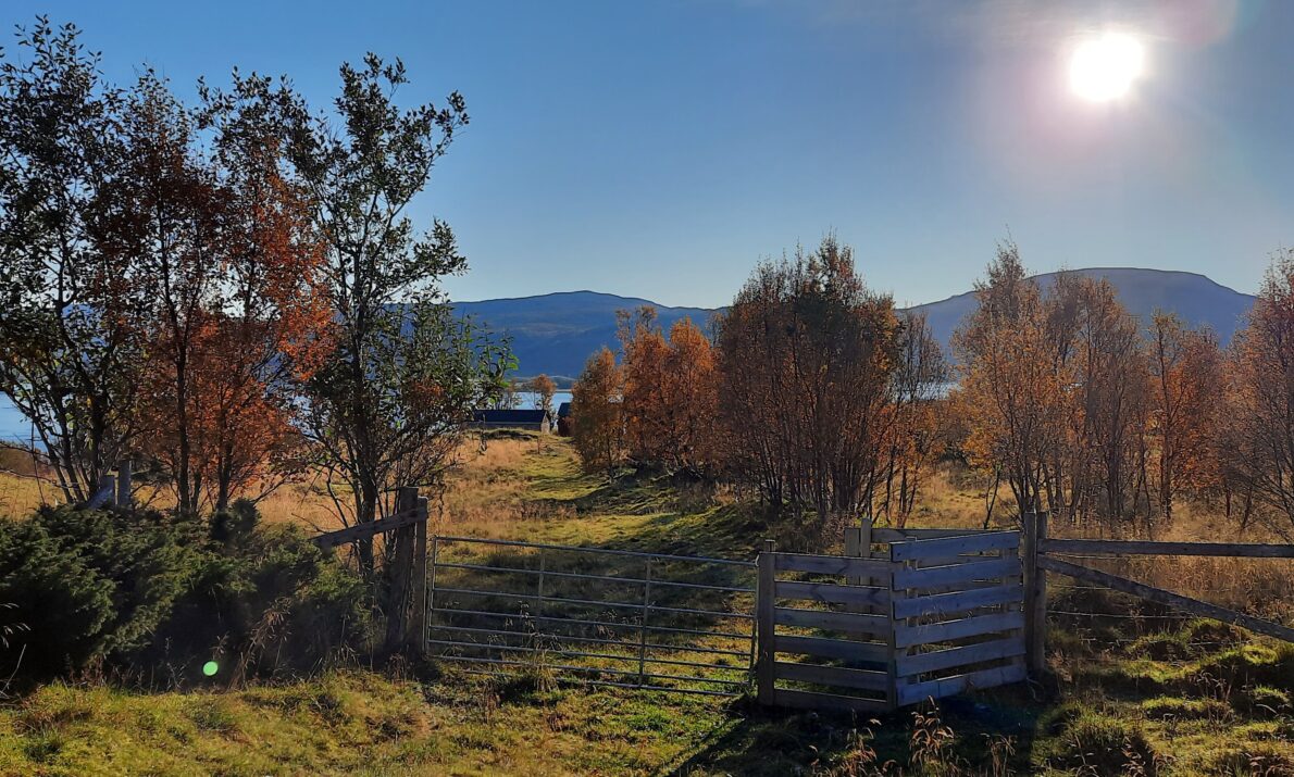
Photo: Marit Chruickshank, Troms fylkeskommune
Tjeldsundet, the strait between Tjeldøya and Hinnøya, has always been an important shipping lane for boat traffic between north and south. On both sides of the strait there is a wealth of cultural heritage.
North of Tjeldøya we find the farms Hov and Hol. Hovsveien has been an important thoroughfare between Hov and the church at Hol for many centuries. Like the farms, Hovsveien also has its origins back to the Iron Age, a thousand years ago. Today Hovsveien functions as a cultural trail and is one of two Fotefar mot nord sites in Tjeldsund municipality.
Practical info
Practical info
Opening hours
Always open
Parking
Parking available at the starting point
Toilet
Toilet at the rest area
How to get here
By car:
From Harstad / Evenskjer: Drive E10 towards Tjeldsundbrua. Drive over Tjeldsundbrua and follow signs towards Tjeldøya. Turn off towards Hol / Kjerstad / Tjeldnes. Follow the local roads – Hovsveien is in this area on the east side of the island.
From Narvik: Drive E6 north to Bjerkvik. Turn off onto E10 towards Harstad/Tjeldsund. Drive to Tjeldsundbrua, cross the bridge and follow local roads as above.
Other
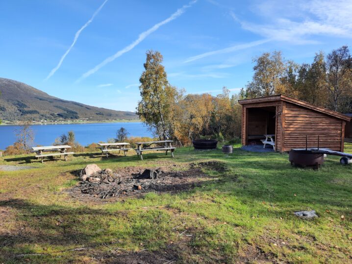
Bonfire place and shelter along the trail
Accessibility
Accessibility
Not wheelchair accessible
Place name and church site
The farm name Hol is from Norse times. Farms with this name have their origins back to the Iron Age. Hol means round mound or hill. The farm name Hov testifies that this was a cultic place back to the Iron Age, a place where Norse gods were worshipped.

History in the landscape
The area between Hov and Hol has traces of human activity from the Stone Age to modern times. The landscape shows how people have adapted to nature over the centuries. The road between Hov and Hol has been used for generations, and along it there are traces of those who used it in the past. The cultural heritage includes finds of tools from the Stone Age, burial mounds from the Iron Age, clearing mounds and other traces of agriculture. There are also several stories connected to the road and those who used it.
The Fotefar path
Hovsveien is designed as a 2 km long cultural trail. The goal is to make cultural monuments accessible to the public and create understanding for the value of preserving them. Hovsveien takes you through a beautiful landscape and gives an insight into how people have lived and worked here throughout history. The cultural monuments connect us to history and provide perspective on today's society. About halfway there is a great rest area with a campfire pit, a shelter and a toilet.
