

Photo: Marit Chruickshank, Troms fylkeskommune
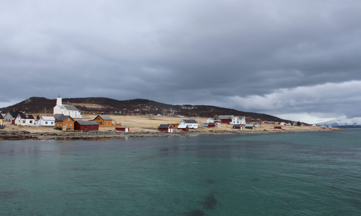
Among church cottages and goats in Alfred Eriksen’s realm.
In the 1970s, Karlsøy became the very symbol of the struggle against the EEC, centralization, and rural decline, yet for centuries prior to this, the island had been a thriving hub. In the 19th century, it was home to a hospital, a sheriff, fisheries, a church, and church cottages. Today, you can walk along the heritage trail, admire the charming architectural setting, visit the Stone Age settlement and World War II coastal fortifications, and perhaps take a dip in the clear, cold sea.
Practical info
Practical info
Opening hours
Outdoors and always open
Parking
Yes
Restrooms
No public restrooms
How to get here
Car + ferry:
Drive to Hansnes. Approx. 1.5–2 hours by car from Tromsø. Hansnes is located in Karlsøy Municipality, which is where the ferry terminal is situated. The ferry crossing from Hansnes to Karlsøy takes approx. 20–30 minutes.
Bus + ferry:
Take the bus from Tromsø to Hansnes. Then, walk straight onto the ferry to Karlsøy.
Activities
The Karlsøy Festival takes place every summer.
Accessibility
Accessibility
Parts are accessible to wheelchair users.
Karlsøya is strategically situated between fjords and sounds, offering easy access to excellent fishing grounds.
In the settlement of Værret, one can find traces of past prominence. The administrative center of Karlsøy Municipality was once located on Karlsøya itself. This area is home to the church, the former hospital, the sheriff’s residence, the wharf, and small church cottages. A stroll around the island reveals not only beautiful scenery but also traces of an even more distant past.
The island was once a site for harvesting seabird eggs and down; it featured otter traps and excellent hunting grounds for ptarmigan and hare. Rich shellfish beds around the island provided bait, while seaweed and kelp from the shoreline were used as livestock fodder.
For generations, Karlsøya served as a hub and a meeting place. While the earliest written records date back to the 16th century, archaeological finds indicate a much older history.
At Arvika, traces of the earliest Stone Age settlement have been found, including the remains of turf houses and tools. The people who lived here had boats, fished, and hunted—leading lives that, in many ways, resemble our own.
The island is small, measuring just 5 km in length and 2 km in width. Its highest point, Vetten, was part of a medieval defensive system. A beacon stood here, lit in times of danger—such as during the Karelian invasion of 1271.
