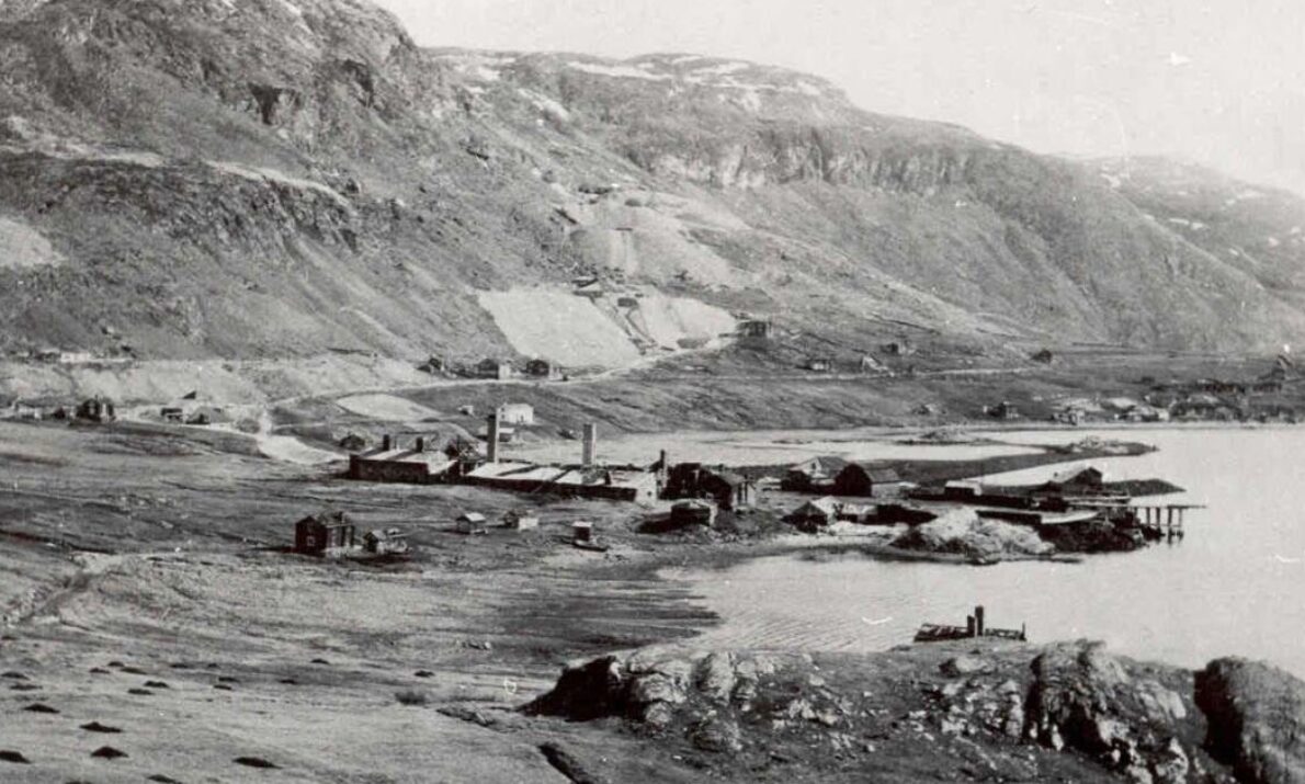
Kåfjord copper mine
Photo: Alta museum
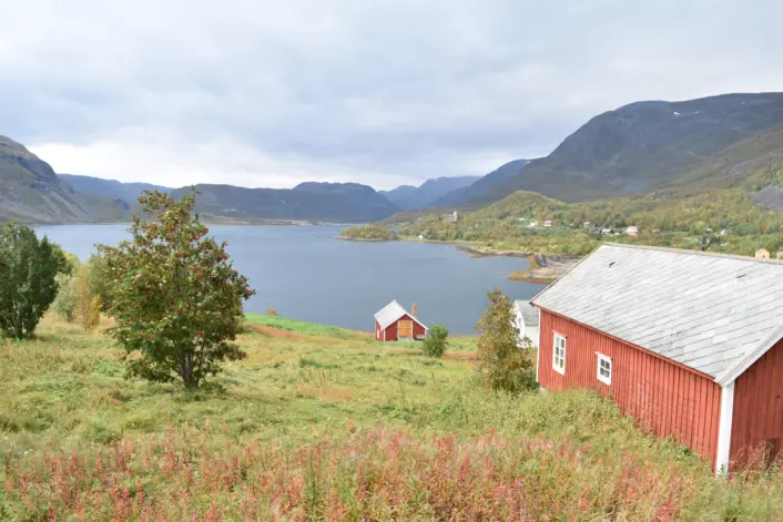
The copper mine in Kåfjord was the first major industry in the North Calotte. Mining was started by English traders. An entire mining community grew up within a few years. Through the copper mine, Kåfjord was drawn into international networks of trade connections.
Practical info
Practical info
Opening hours
Always open
Parking
There is parking for the cultural trail that starts at Strømsneset, it is signposted from the main road to the cultural trail.
Toilet
No
How to get here
Kåfjord is located approx. 15 kilometres from the centre of Alta, with a signposted exit from the E6.
Other
Tour destinations:
Haldetoppen and the Northern Lights Observatory start in Kåfjord. See Perletur
Museum:
Tirpizmuseet in Kåfjordbotn is open during the summer season
Homepage - Alta museum
Accessibility
Accessibility
The last 200 metres of the cultural trail may be under water at extra high tide. There is abundant birdlife along the trail, be careful during the nesting season.
Mining 1826-1909
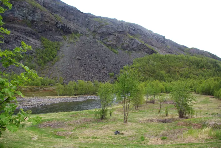
The location of the ore deposit by an ice-free fjord with good harbor conditions offered a number of practical advantages, and in Kåfjord everything was naturally suitable for mining. The mines were located on a series of low hills rising straight up from the sea. This made it possible to drive in drifts from outside at different altitudes.
The workers came from Finland, Sweden, England and Norway. Twelve mines were opened during the years of operation. A separate smelter produced high-quality copper. Freight ships could dock right next to the smelter. Access to labor was a challenge in the early days of the copperworks, and the welfare of the workers was given high priority. During the English period of operation (1826-1878), Kåfjord had, among other things, a shop, school, church, bakery, brewery and theater. The English management also wanted women to work and started a preschool for children in 1838.
During the second and shorter period of operation, the mines had Swedish owners (1896-1909). At that time, operations were improved, including the addition of a separate ore washing plant.
Visible traces
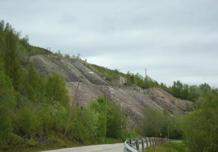
There are still many traces from the mining era in Kåfjord. The most noticeable are the tipplaats and the ore washing plant on seven floors above the main road. The tipplaats consist of rock that does not contain usable copper. Water was used in the washing process to separate the copper-rich parts of the ore.
Kåfjord Church from 1837 was built to serve the mining community, and is the only building in Kåfjord that was not burned by the German occupation forces in 1944. To the south on the other side of the fjord we see Kreta (Kreetanpää). Up to 400 people lived there, all Kven workers and their families.
Hiking in Kåfjord
There is a prepared cultural trail from Strømsnes to Heitmannsplanet, which is approx. 1.2 km long. Down at Heitmannsplanet, the walls of buildings from the time of the mine and walls from the German installations during World War II are shown. The cemetery around Kåfjord Church also provides an insight into the mining history, and on the other side of Innerstrømmen it is nice to see the remains of the Kven settlements on Kreta.
The mining areas north of the main road are neither secured nor prepared for visitors. The copper mines are closed for safety reasons.
Kåfjord is also the starting point for the hiking trail to Haldetoppen and the Northern Lights Observatory, this hike is considered a day hike.